Please patronize our sponsors. Ads with links are clickable.

bar_eleg.gif (11170 bytes)

Photos By Fritz Rethage taken May 17, 2003

[Riser Ditch Index]

Riser Ditch
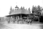
West Riser Ditch along Railroad Tracks, north and south of the Teterboro Train Station between Route 46 and Route 80

###
[Connection to behind Hilton]

17_58.jpg (168208 bytes)
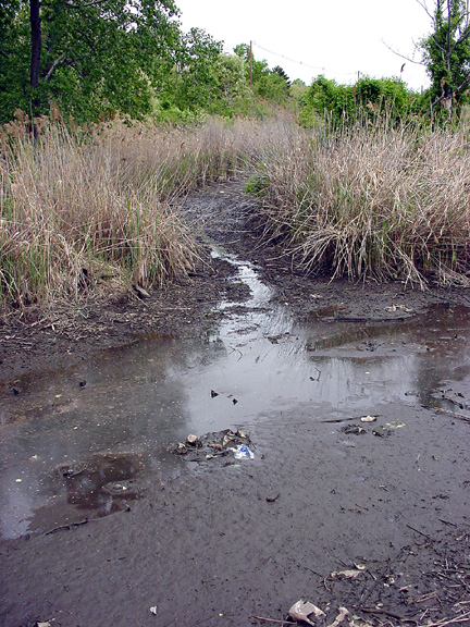
The swamp between Route 46, Route 80 and Polifly Road (behind the Hilton & office buildings) exits into West Riser Ditch near Route 46 railroad overpass.

17_56.jpg (197771 bytes)
View facing north. Route 80 overpass is in the distance.  The photo above is about 100 feet to the left.

17_59.jpg (208745 bytes)
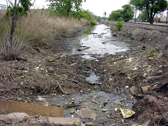
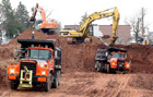
Flow was stopped for ditch repairs.  See below


17_b19.jpg (201534 bytes)
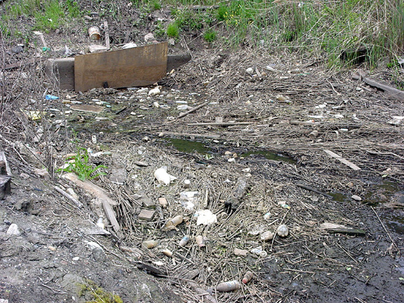
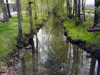
Section of Riser Ditch recently cleaned up.  This is located just north of the Teterboro Railroad station and Williams Avenue.  View is facing Route 17 and Route 46 interchange.


17_b22.jpg (186171 bytes)
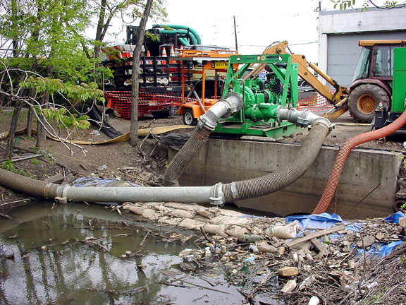
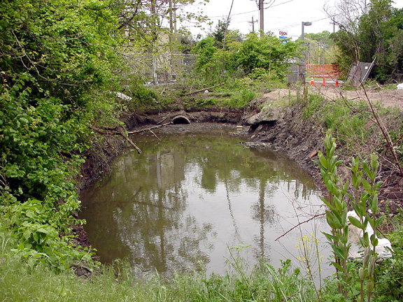
Pumps used during the Riser Ditch repairs.
View is just south of the Teterboro Railroad Station facing Route 17.

17_b23.jpg (186365 bytes)
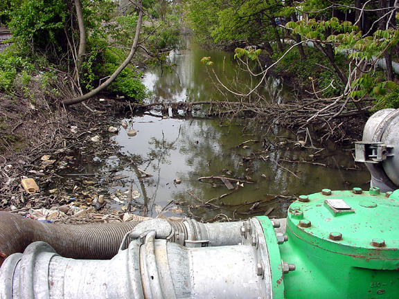
The ditch then continues to flow naturally. View is facing south with the railroad tracks to the left and Route 17 to the right.

Follow this Connection from Train Station along railroad tracks/Route 17 side

####

Riser Ditch Photographic Tour
Photo tour views are from north to south

East Riser Ditch
[East Riser Ditch] From Route 46, between Riser Road and   Fred Wehran Drive

West Riser Ditch
[Behind Hilton] Between Route 80, 47, 17 & Polifly Road & railroad tracks
[Between Route 80 & Route 46] North of Teterboro Train Station
From Train Station along railroad tracks/Route 17 [a][b][c] to Franklin Avenue Bridge
From Train Station along tracks/Industrial Ave. [a][b][c] to Franklin Ave. Bridge
[@ Franklin Ave. Bridge]
Airport along perimeter [@ Bend on Industrial Ave.] [@ Bridge on Industrial Ave.]
From Franklin Avenue Bridge [Along Railroad Tracks] to Wood Ridge


Illustrations
[Overall view] [Berry's Creek to Teterboro Airport]
[East & West Riser Ditch at Teterboro Airport]
[The Hackensack River Watershed] [Meadowlands refuge area]


###


####


Please patronize our sponsors. Ads with links are clickable.

bar_eleg.gif (11170 bytes)


·  Photo Features  ·
George Washington Bridge
[Index]
Paterson Great Falls [General Photos][Background info][Hydroelectric plant]
Secaucus Junction
Grand Opening  [Index]
Mail Factory Migrates To Teterboro [ Sneak preview][Ribbon cutting]
"The Wright Stuff"100 Years of Aviation [Index]


Please patronize our sponsors. Ads with links are clickable.

bar_eleg.gif (11170 bytes)

regional news, information and features
  LOGO.GIF (7473 bytes)
[Advertising Information]  [Policy Statement]      MAIL.GIF (4196 bytes)   [E-mail: Webmaster]      
   Please report broken links.  Submissions welcome.  Site established 1998.  © 1998-2018.  All Rights Reserved
Permission required for any commercial reproduction of photographs used herein.
Site developed and maintained by [The Iron Horse Advertising & Marketing Co. Inc.]
####